Summer Activities
Hiking Trails
Self-guided alpine hikes through old-growth forest, alpine meadows, and to the summit.
Hiking at Mount Washington
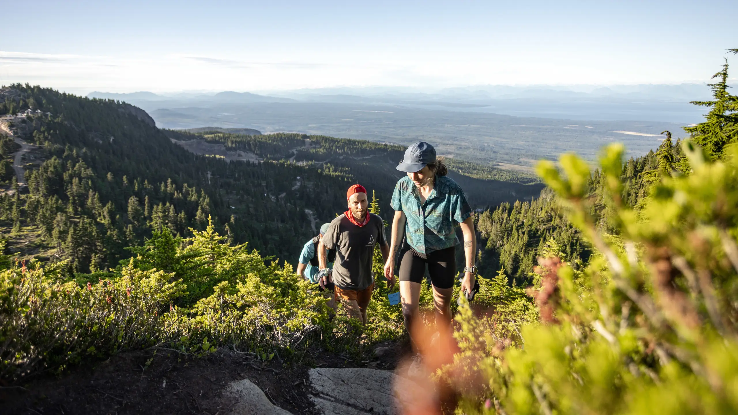
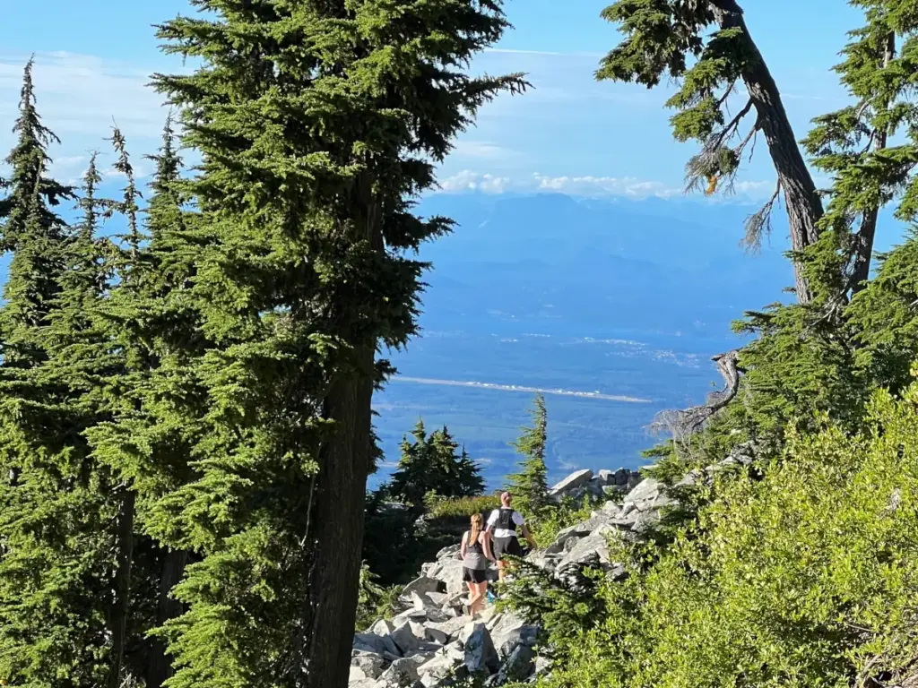
Access hiking trails on the slopes of Mount Washington for a different perspective on the terrain. Pack for a day of hiking and enjoy the surrounding views of Strathcona Park and the Salish Sea, and get to know the plethora of flora and fauna along the way.
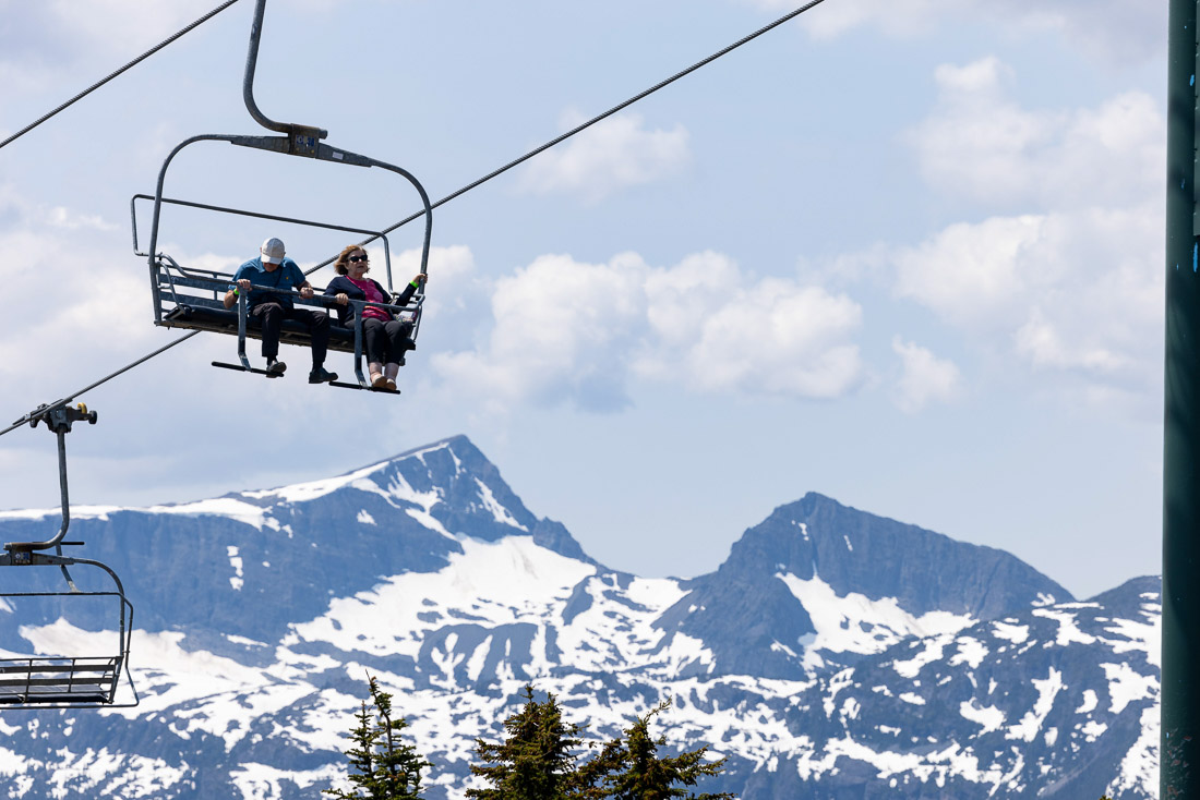
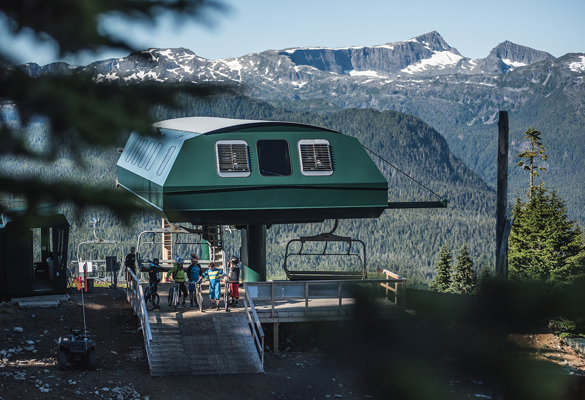
All hiking trails are free to access. The Scenic Chairlift is available if you’d like to ride up — tickets can be purchased at the front of the Alpine Lodge. Many guests take the chairlift up and hike down, or hike up and catch a free ride down.
Where to Start
From the Alpine Lodge Base
- Giv’r
- Linton’s
- Finger Access Road to Finger Trail (multi-use for XC)
- Great Big View
From the Top of Eagle Chair
- Top of the World
- West Ridge Summit
How to prepare for a great day of hiking. Pack sunscreen, a hat, sun-protective clothing, sunglasses, bug spray and snacks such as trail mix. Wear closed-toe shoes and be prepared for rugged terrain. Bring plenty of water — there are no water sources on the mountain, though refill stations are available inside the Alpine Lodge.
Trail Status
Live open/closed status updates through the season, straight from our conditions feed. Full summer operations begin June 26 — please check before you head out.
Trail
Status
Difficulty
Info
Great Big View
0.3 km
Blue (Intermediate)
Multi-use trail overlooking the Raven Lodge with spectacular views of Strathcona Park.
Memory Lane
0.7 km
Green (Easy)
Short trail with a series of benches honouring the lives of staff, family and friends.
Top of the World
1.0 km
Green (Easy)
A spectacular sea-to-sky panorama from the peak of the mountain.
Giv’r Trail
1.1 km
Black (Expert)
Steep up and steep down — the most challenging way to the peak. Marked with yellow tape.
Finger Access Road
1.6 km
Blue (Intermediate)
Multi-use trail and access road for the XC trails on the far west of the network.
Linton’s Trail
2.1 km
Blue (Intermediate)
Rough, rugged sections following the famous ski run, with awe-inspiring views of Strathcona Park and Mt. Albert Edward. Marked with red flags.
West Summit Ridge
4.3 km
Blue (Intermediate)
Winds through West Basin and peaks at Little Mount Washington before descending through alpine meadows. Marked with blue flags.
Finger Trail
7.5 km
Blue (Intermediate)
The mountain’s signature XC trail — challenging terrain with unparalleled views of Strathcona Park. A free pass and signed waiver are required from the Alpine Lodge.
Trail Maps
Download the map you need. Summer trails are first — alpine and nordic maps for the wider network follow.
Alpine Maps
Nordic Maps
On the Mountain

Wildlife and more
Flora & Fauna
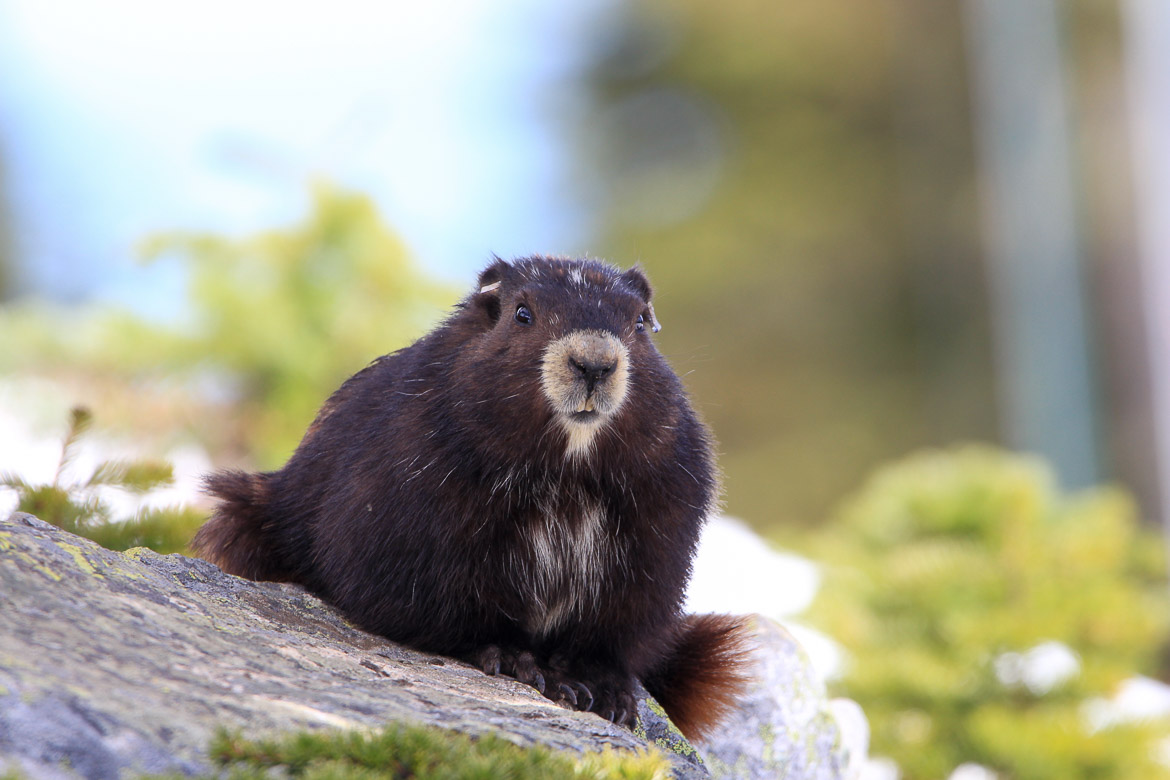
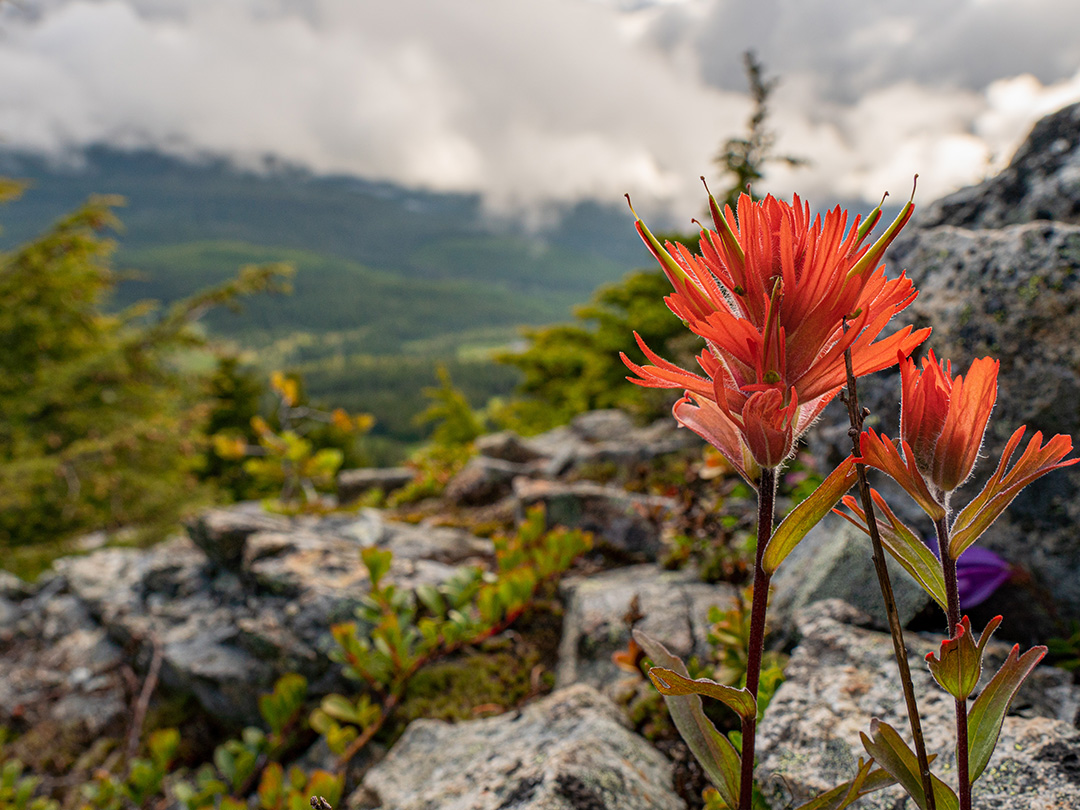
Mount Washington is committed to preserving and enhancing the natural resources at the core of what makes our location so special. Working with organizations such as the Marmot Recovery Foundation is a cause near and dear to our hearts.
We have a long history of being good stewards of the land on which we operate, and we’re always taking another step to help improve our environment.
Maps, lift status & more info
The Daily Dispatch
View the trail map, lift status, weather and trail reports, GPS tracking, events and more in our app. Search “Mount Washington Alpine Resort” in the Apple App Store or Google Play to download and track your days, runs, speed and vertical all season.