Trail
Status
Difficulty
Info
Memory Lane
Distance: 0.7km
CLOSED
Short trail with a series of benches to honour the lives of staff, family and friends.
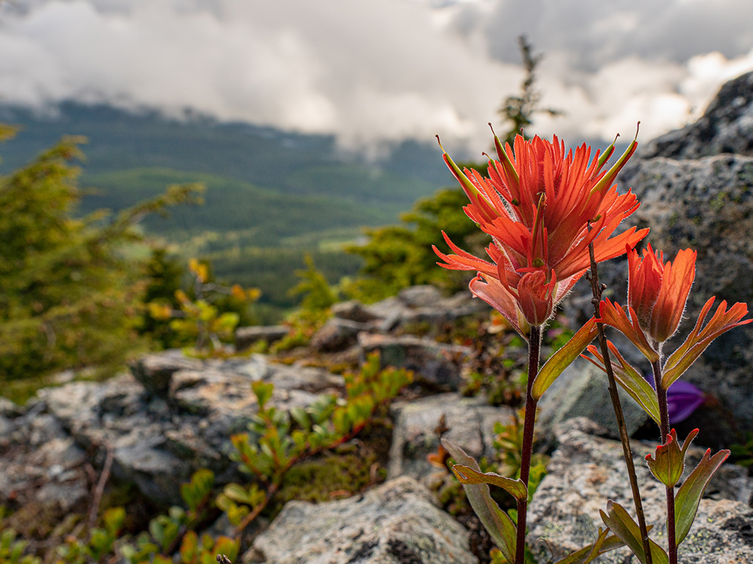
Top of the World
Distance: 1.0km
CLOSED
Enjoy this spectacular sea to sky panorama from the peak of the mountain.
Linton's Trail
Distance: 2.1km
CLOSED
There are some rough and rugged sections. Following the famous ski run, Linton's Trail provides great, awe-inspiring views of Strathcona Park and Mt. Albert Edward. The trail is marked with RED FLAGS.
West Summit Ridge
Distance: 4.3km
CLOSED
This trail winds through West Basin and then peaks at little Mount Washington before descending through alpine meadows. The trail is completed at the bottom of the ridge and requires hikers to return back to the eagle unload Trail marked with BLUE FLAGS.
Finger Trail
Distance: 7.5km
CLOSED
This trail can be accessed without a chair lift ride, however, a waiver and free pass need to be picked up at the Alpine Lodge prior to entering the bike park.
The mountain's signature XC trail, delivering challenging terrain and providing unparalleled views of Strathcona Provincial Park. Steeper grades with more difficult obstacles offer riders a natural progression to more advanced XC skills.
Great Big View
Distance: 0.3km
CLOSED
Multi-use trail overlooking the Raven Lodge and providing spectacular views of the Strathcona Park.
Finger Access Road
Distance: 1.6km
CLOSED
Multi-use trail and access road for our XC trails on the far west of our trail network. This is our main multi-use trail access for our Finger trail.
Giv'r Trail
Distance: 1.1km
CLOSED
It's steep up and steep down, the most challenging way to get to the peak. Trail marked with YELLOW tape.